
Master of Science (Geographical Information Science) - Geographic Information
The Master of Science in Geographical Information Science focuses on GIS-based solutions for real-world challenges in environmental and geohazard management, urban planning, resource management and conservation, health applications, and oil and gas sectors. Students study data acquisition, modelling, remote sensing, geo-database management, spatial statistics, geographical analysis, visualisation, cartography, open GIS infrastructures, project management and research projects.
Tuition Fees
Quick Facts
Fees by Study Year
Tuition for each year of the programme
- Year 1RM 18,000
- Year 2RM 18,000
Other fees
- Visa feeone-timeRM 3,250
Indicative fees in Malaysian ringgit. The final amount is confirmed in your offer letter. Fees exclude 6% SST where it applies.
The Master of Science in Geographical Information Science focuses on GIS-based solutions for real-world challenges in environmental and geohazard management, urban planning, resource management and conservation, health applications, and oil and gas sectors. Students study data acquisition, modelling, remote sensing, geo-database management, spatial statistics, geographical analysis, visualisation, cartography, open GIS infrastructures, project management and research projects.
- A bachelor’s degree in the Geospatial/GIS field or related fields with a minimum CGPA of 2.50 or equivalent as accepted by the HEP Senate is required.
- Other equivalent bachelor’s-level qualifications may be assessed during admission.
IELTS 5.5
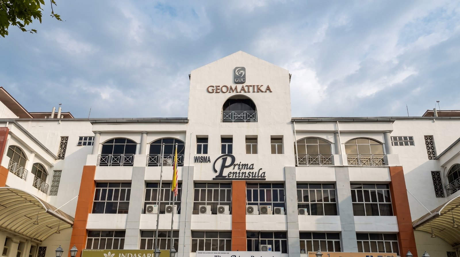
Master of Science (Geographical Information Science) - Geographic Information is a Master programme at Geomatika University College, lasting 1.5 years. It is offered by the Faculty of Architecture and Built Environment. Classes are taught in English.
Subjects you will study
- Introduction to GIS
- Data Acquisition & Data Modelling
- Remote Sensing
- Geo-DBMS
- Spatial Statistics
- Geographical Analysis
- Visualisation and Cartography
- Open GIS and Distributed GIS Infrastructures
- Collaborative Projects / Practical Project
- GIS Organisation and Project Management
- Learning Practice and Academic Work 1
- Research Project Proposal
- Electives I
- Learning Practice and Academic Work 2
- Research Project
- Electives II
- Faculty
- Faculty of Architecture and Built Environment
- Language of instruction
- English